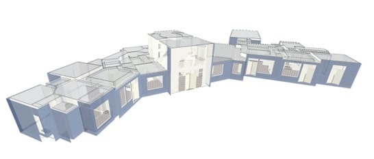
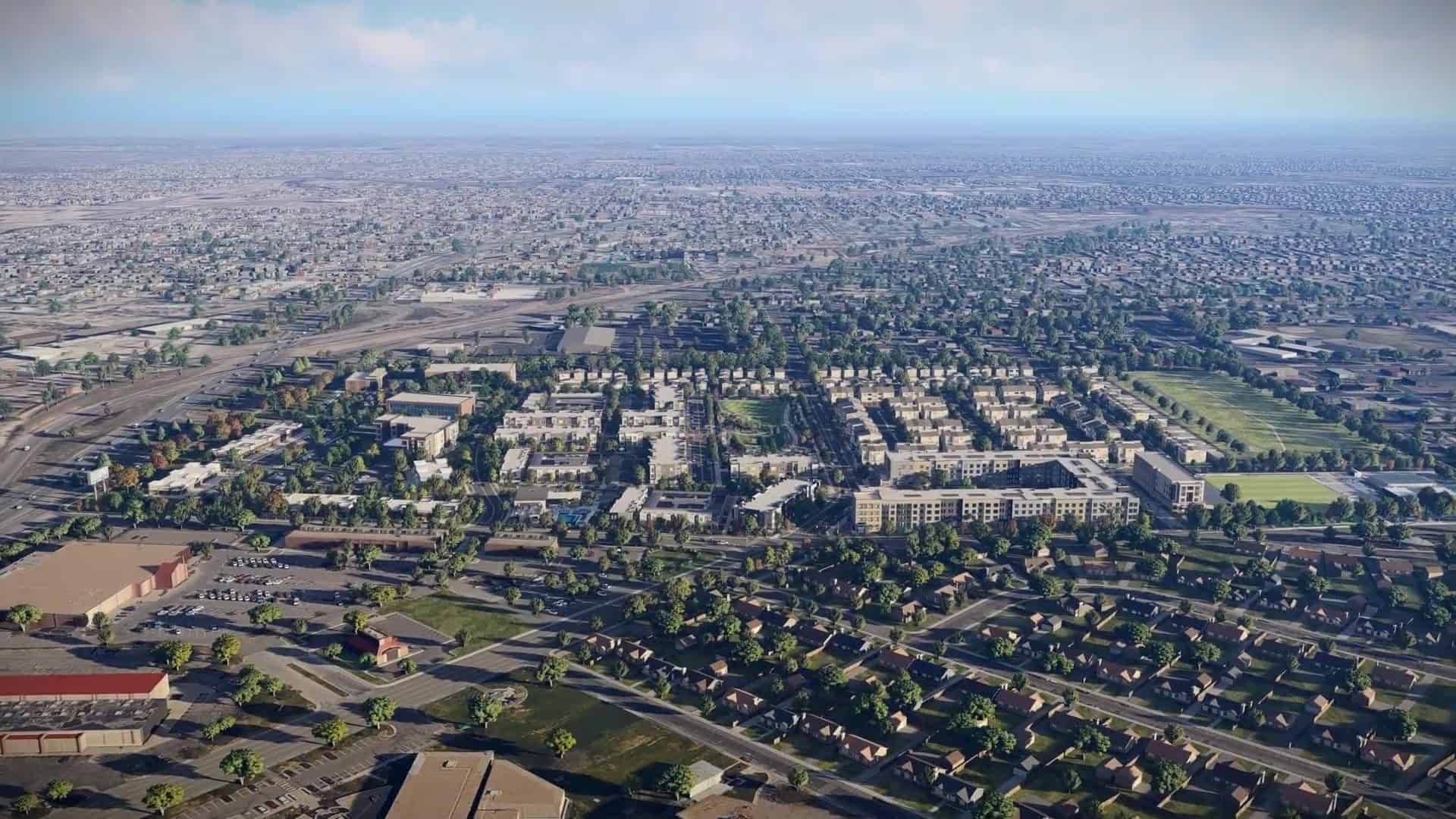
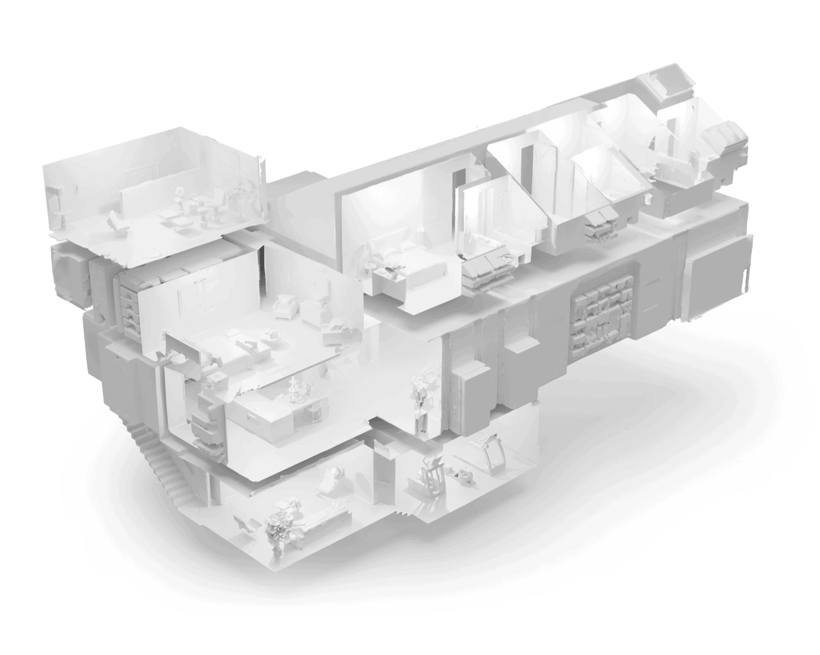
Using LiDAR for virtual tours and mapping has been used throughout real estate and architecture in a number of ways. From helping agents sell a single family residency to allowing developers and investors to visualize interior spaces from across the country.
Explore the spaces below to see the true power of a virtual space.
LiDAR Add-Ons
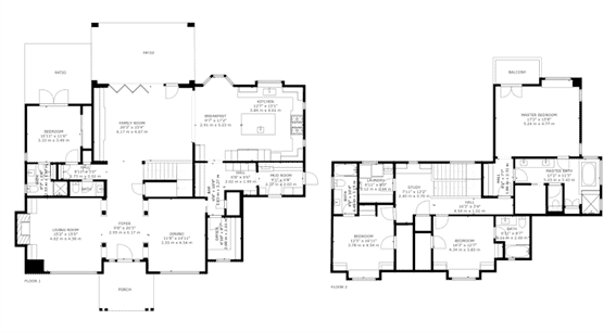
As-Built Floor Plans
Marketing ready, black & white floor plans for your Matterport Spaces. Leave your measuring tape at home and order floor plans that leverage the spatial data captured in your Spaces to produce a 2D schematic that showcases the property.
MatterPak
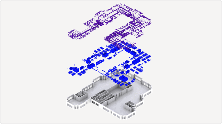
The MatterPak™ Bundle is a set of downloadable and exportable assets generated from Matterport 3D data for use by architects, construction, development, developers and design professionals. Assets can be imported into a multitude of programs to kick start your design, development or management process.
It contains:
- Colorized point cloud (.XYZ)
- Reflected ceiling plan image
- (.JPG) Multiple files if multiple floors
- (.PDF) All floors in one file
- High-resolution floor plan image (This is NOT the Schematic Floor Plans.) This is similar to the ceiling plan image but of the floor.
- (.JPG) Multiple files if multiple floors
- (.PDF) All floors in one file
- 3D mesh file (.OBJ) including the necessary texture map image files (.JPG)


 ►
Explore 3D Space
