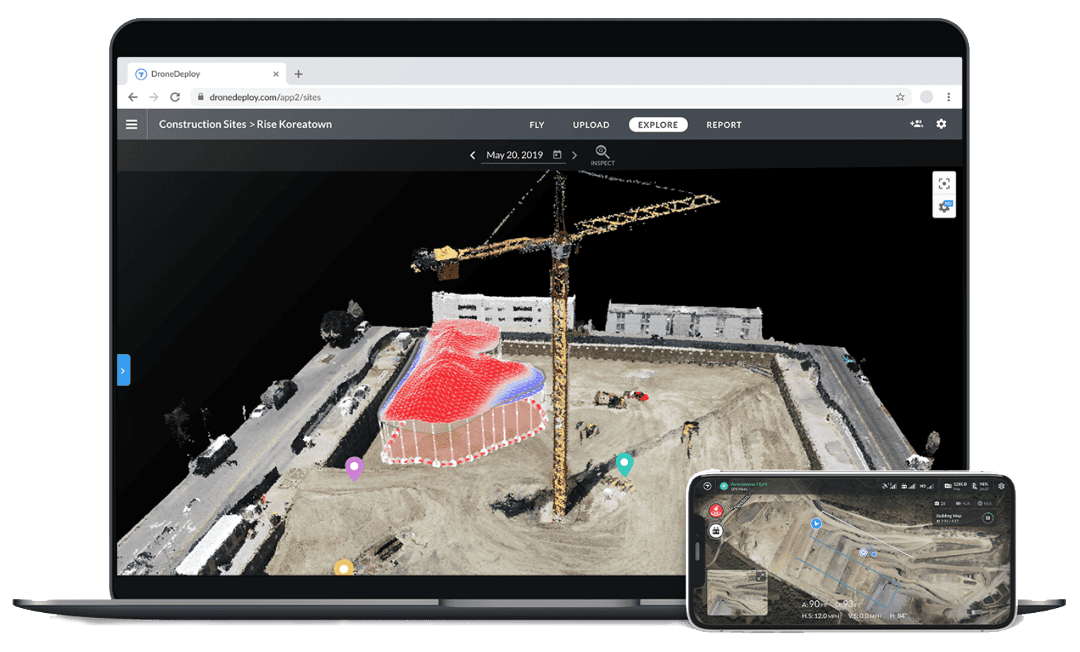
Photogrammetry is the process of creating hyper-realistic 3D models of buildings or objects using hundreds or thousands of photos. Using drones we are able to capture the necessary photos and use the internal photo data to map out the property in our photogrammetry software. This is a great way to view specific buildings up close and have total control over the angles, heights and distances you want to view.
D r o n e D r o n e D r o n e
360 & 180 Sphere Panoramic Photos
These 360 panoramic photos are a fantastic way to showcase a large area and gives the client an interactive view of the subject building or land. These photos can be embedded into social media posts, websites, or shared among other potential clients. data captured in your Spaces to produce a 2D schematic that showcases the property.
Documentation & Management
Using our fleet of drones we can create a digital record of your entire property portfolio to improve the annual budgeting process and allocate capital expenditures to the highest value properties and assets. We can record pavement, roof, exterior, and interior assessments so you can keep track of them.
It contains: